

The Fort Edwards Foundation of Capon Bridge, West
Virginia
3D Archaeology Graphics at Fort
Edwards
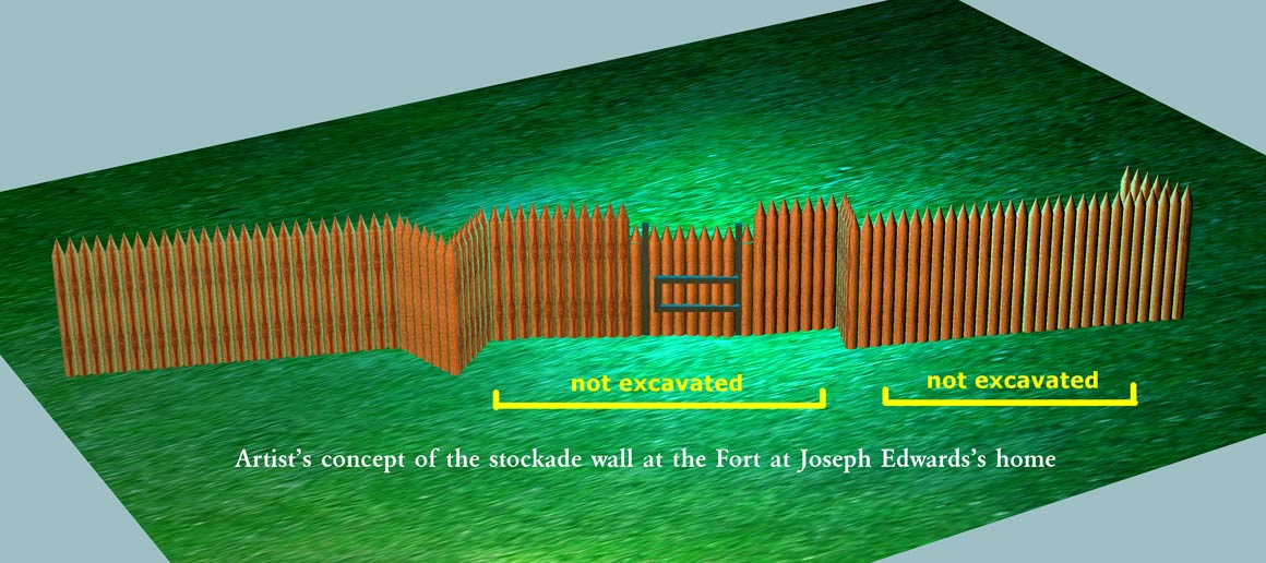 Artist's concept of west stockade wall. Note that
the lines are straight since we could not follow the actual curved
lines.
On the left side there may actually be another
jog in the wall allowing someone inside to fire along the northern most
segment.
Artist's concept of west stockade wall. Note that
the lines are straight since we could not follow the actual curved
lines.
On the left side there may actually be another
jog in the wall allowing someone inside to fire along the northern most
segment.
 This shows the concept of firing from inside the stockade along the
exterior wall
This shows the concept of firing from inside the stockade along the
exterior wall
to protect it as well as to protect any gates or other weak points in the
wall.
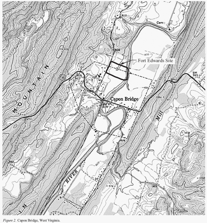 Topo showing the Fort site located north of the town of Capon Bridge.
Although this old topo shows the fort just
Topo showing the Fort site located north of the town of Capon Bridge.
Although this old topo shows the fort just
outside the north limit of the town, the new additions to the town now place the fort site in the town limits.
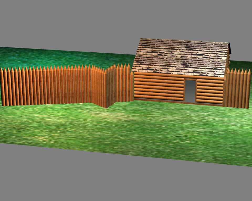 This graphic is useful for showing the archaeologists may never find
evidence of all of an enclosing stockade wall
This graphic is useful for showing the archaeologists may never find
evidence of all of an enclosing stockade wall
since some buildings
may have been used in the wall. Since they are based on logs laid on the
ground there is no
permanent stain below the surface to indicate to us today there was anything there.
Last
updated: June 13, 2008
© 2000, 2004 The Fort Edwards Foundation.
All rights reserved.
www.fortedwards.org