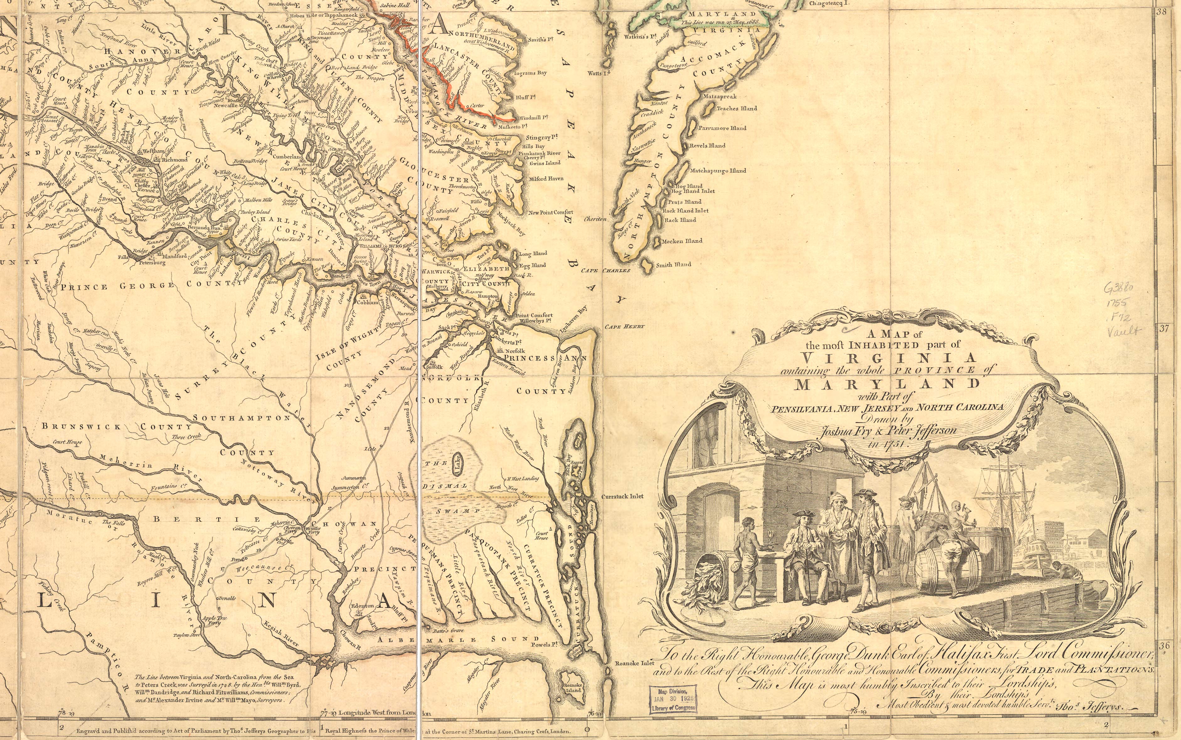
The Fry and Jefferson Map of
Virginia
The Map of Col. Washington's
Era
One of
the most beautiful maps of colonial Virginia is "A map of the most inhabited part of
Virginia containing the whole province of Maryland with part of
Pensilvania, New Jersey and North Carolina" by Joshua
Fry and Peter Jefferson. The second edition of 1754 which includes
some roads is a good reference for a study of the French and Indian
War era in Virginia. It is the map that was available to Col.
Washington and to other officials during that time. If you can
locate places by their proximity to rivers, it is a good reference
to Virginia and West Virginia of the mid-eighteenth century.
The map
is available from the Library of Congress as a jp2 format digital
file, but it is extremely large, about 25 megs. You may download it at this link. Click on the map
image, and it will take you to a page with an on-line viewer; you
can download the entire jp2 file through the link at the bottom of
that page.
Since
many people are not able to handle such a large file, we have split
the map up into four sections, northwest, northeast, southwest and
southeast and reduced them in size. The files are about 1.5 megs in
size and will print on legal size paper. You may download the four
sections below. We suggest you may want to download them to your
computer and view them with a paint program such as Photoshop
Elements, PaintShop or the like.
NorthWest
section NorthEast
section
SouthWest
section SouthEast
section
A small version of the entire map
is shown below |